
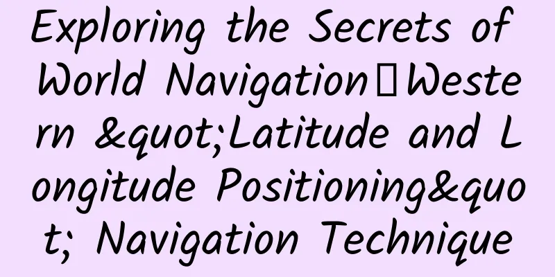
Exploring the Secrets of World Navigation丨Western "Latitude and Longitude Positioning" Navigation Technique
|
Sailed with Columbus and Magellan Travel through 500 years and see the amazing changes in world navigation! "Five Hundred Years of World Navigation: Special Exhibition of Maritime Relics from the 15th to 19th Centuries" Carrying maritime relics from more than 20 countries on five continents Officially landed China Maritime Museum Without the assistance of today's advanced positioning systems such as Beidou and GPS, how did ancient sailors determine their positions on the vast ocean? We know that when a ship is sailing across the ocean, it must always know the longitude and latitude of the ship. The longitude and latitude need to be calculated by measuring the angle between the sea level and a specific celestial body (such as the sun, moon, and stars). From the 15th to the 19th century, what instruments did navigators use to determine longitude and latitude? How did these instruments develop and change? Determine the Latitude by the Sky The astrolabe is an ancient stargazing instrument. In 1470, navigators removed the star chart from the astrolabe and transformed it into a simple navigation instrument for measuring the latitude of land and the position of ships at sea. The astrolabe consists of a rotatable pointer fixed in the center of a wooden (or metal) disk with degrees marked on the circumference of the disk. Schematic diagram of the use of the nautical astrolabe When in use, the astrolabe is hung vertically, with the zero mark flush with the horizontal plane, and the pointer is moved to point to the celestial body to be measured, so that the height of the celestial body can be measured, and the latitude of the ship can be obtained. However, due to the bumps of the ship's deck, it is difficult to operate and the error is large. The quadrant is a right-angled arc plate made of hardwood, with the arc divided into 90 degrees; a sight is set under one of the right-angle sides for aiming at the celestial body; a line is tied to the top of the right angle, and a plumb bob is tied under the line to indicate the degree. When the right-angle side is in line with the object of observation, the degree indicated by the vertical line is the desired height. The quadrant is only suitable for use in calm seas. After 1530, Western navigators generally used the cross astronomical instrument, also known as Jacob's rod, golden rod, etc. It consists of a short rod with holes at both ends vertically mounted on a long straight rod with a scale; the short rod can move back and forth on the long rod, and the upper and lower holes can respectively see the horizon and celestial bodies. In 1595, John Davis of England invented the inverse celestial altitude observation instrument. The height and latitude of celestial bodies could be obtained by projecting shadows onto a scale through a mirror system, thus overcoming the shortcomings of astrolabes, cross-heliostats and other instruments that required direct visual observation of celestial bodies. In 1730, American T. Godfrey and British John Hadley invented the octant respectively. It was named octant because its scale arc is approximately one-eighth of the circumference of a circle (ie 45°), and its angular measurement range can reach 90°. Octant structure, usage diagram and principle diagram Octant In 1757, Captain Campbell expanded the measuring range to 120° based on the octant, which was called the sextant. Although the measuring angle of the sextant was gradually increased to 144 degrees, which has developed to about one-fifth of the circumference, the name of the sextant has remained unchanged. Diagram of sextant usage A: Indicator mirror B: Horizon mirror C: Telescope D: Indicator arm E: Dial Schematic diagram of sextant principle When using it, the observer holds the sextant and rotates the index mirror to make the celestial bodies that appear in the field of view coincide with the sea horizon. The sextant is lightweight and can be used for observation on a swaying ship. The disadvantage is that it cannot be used on rainy days. Sextant From the astrolabe, right-angle quadrant, cross astronomical instrument to the reverse celestial altimeter, and then to the octant and sextant, the navigation instruments for measuring latitude have been continuously improved, and latitude can be accurately measured. However, until the 17th century, the problem of accurately measuring longitude remained unsolved. In 1675, Charles II of England founded the Royal Observatory in Greenwich with the purpose of determining the longitude of various places. In 1714, the British government offered a prize of 20,000 pounds to seek a method that was both accurate and practical to determine longitude, and established the Board of Longitude to study its application. The key to accurately determining longitude is to accurately measure time. Control “time” and determine “classics” Like instruments for measuring latitude, timekeeping instruments also have their own development process. Before the invention of clocks, sundials, hourglasses and nightflight instruments were commonly used timekeeping instruments. A sundial is an instrument for observing the sun's shadow and recording time. It is mainly used to specify the time or quarter according to the position of the sun's shadow. It usually consists of a gnomon (dial) and a dial (a scaled base). The method of using a sundial to tell time is a major invention of mankind in the field of astronomical timekeeping, and this invention has been used by mankind for thousands of years. British sundial German-made sundial with compass French sundial Chinese-made sundial with compass The hourglass is an ancient and commonly used marine timepiece that uses quicksand in the glass to measure time. The night-flyer uses the North Star to measure time. Before the invention of clocks, the hourglass and the night-flyer were instruments used by sailors to determine and record time when sailing at night. Night flight instrument usage diagram Early marine night navigation instruments In 1759, after more than 20 years of experiments, British watchmaker John Harrison continuously improved the first astronomical clock to the fourth generation, and finally made a precise and portable astronomical clock; in 1766, Neville Maskeline published the first practical "Navigational Almanac" in Britain. Since then, sailors have been able to calculate longitude and latitude and accurately locate by using the astronomical clock, sextant and nautical almanac. Harrison H1 Astronomical Clock Harrison H4 Astronomical Clock Kong Yingda, a scholar in the Tang Dynasty, explained "civilization" in his commentary on the Book of Documents: "The one that spans the heavens and the earth is called culture, and the one that shines on all directions is called brightness." The discovery of the standards of time and space between heaven and earth is a great step forward for mankind. This is the contribution that the development of navigation instruments over hundreds of years has made to the course of world history. |
>>: Bad quality meat? Unhygienic? Is this takeaway edible? 24 takeaway dishes reviewed


Recommend
Practical skills: WeChat group operation plan and skills strategy!
Everyone must have joined some reading groups, in...
In-depth analysis of event operations (I): Preparation before the event
In the next few articles, I will introduce to you...
Is it so easy to make your own wine? Be careful, beware of methanol poisoning...
Grape wine in luminous cup, a glass of homemade w...
How much does a roll of 4 square wire cost?
On the market, 4 square wires are sold for 380 yu...
Small body, big power! A small satellite of more than 30 centimeters reveals the secrets of the planet
Using a 14-inch small satellite to study "ho...
Does smoking affect your appearance? It’s true!
Author: Xiao Dan, Director of the Department of T...
Lighting up the "standard candle" marks a new breakthrough in Type Ia supernova research!
Produced by: Science Popularization China Author:...
Private domain traffic operation of Midas Touch Enterprise Account
Brief introduction to the private domain traffic ...
The CTR is the same, which copy has a better conversion rate?
Have you ever encountered such accounts in the pr...
Car lights: Without me, no matter how good the car is, it’s useless
If we were to select the most important means of ...
Inventory of 20 practical tools for short videos: materials, operations, and editing
Currently, the short video industry has attracted...
Regarding user operations, let’s start by chatting with users.
Let’s get straight to the point. What makes a goo...
400 activation and charging standards, how much does it cost to activate a 400 phone number?
400 telephone numbers are not completely free num...
What does a tree sparrow look like?
When it comes to wild birds, sparrows are probabl...
Three common breakfast combinations are actually very unhealthy. Are you one of them?
Recently, the topic #Skipping breakfast makes you...